
How Sailors Found Their Way
Before satellite navigation, finding a destination meant combining the sky, instruments, maps, experience and careful guesses.
In this article
Imagine you are far from land. No street names, no lighthouse in sight and no glowing dot on a map. The waves all look alike. How do you know where to steer?
For sailors across many centuries, the answer was never one magic instrument. It was a collection of skills: watching the sky, recording courses, measuring speed, using local knowledge, consulting charts and learning how wind and currents behave.
Direction is not the same as position
A compass can help you steer a direction, but it does not tell you where you are. This distinction matters. If you are blown off course by a current, faithfully following the same compass heading may still leave you in the wrong place.
Navigators used methods often described as dead reckoning: estimating a position from the last known location, course, distance travelled and time. The estimates could become uncertain as small errors accumulated. Sailors therefore used sightings of coastlines, landmarks and celestial bodies whenever possible.
Magnetic navigation developed over long periods, with important early traditions in China and subsequent use across different maritime cultures. The instruments and practices did not spread everywhere at the same time.
What the sky could tell you
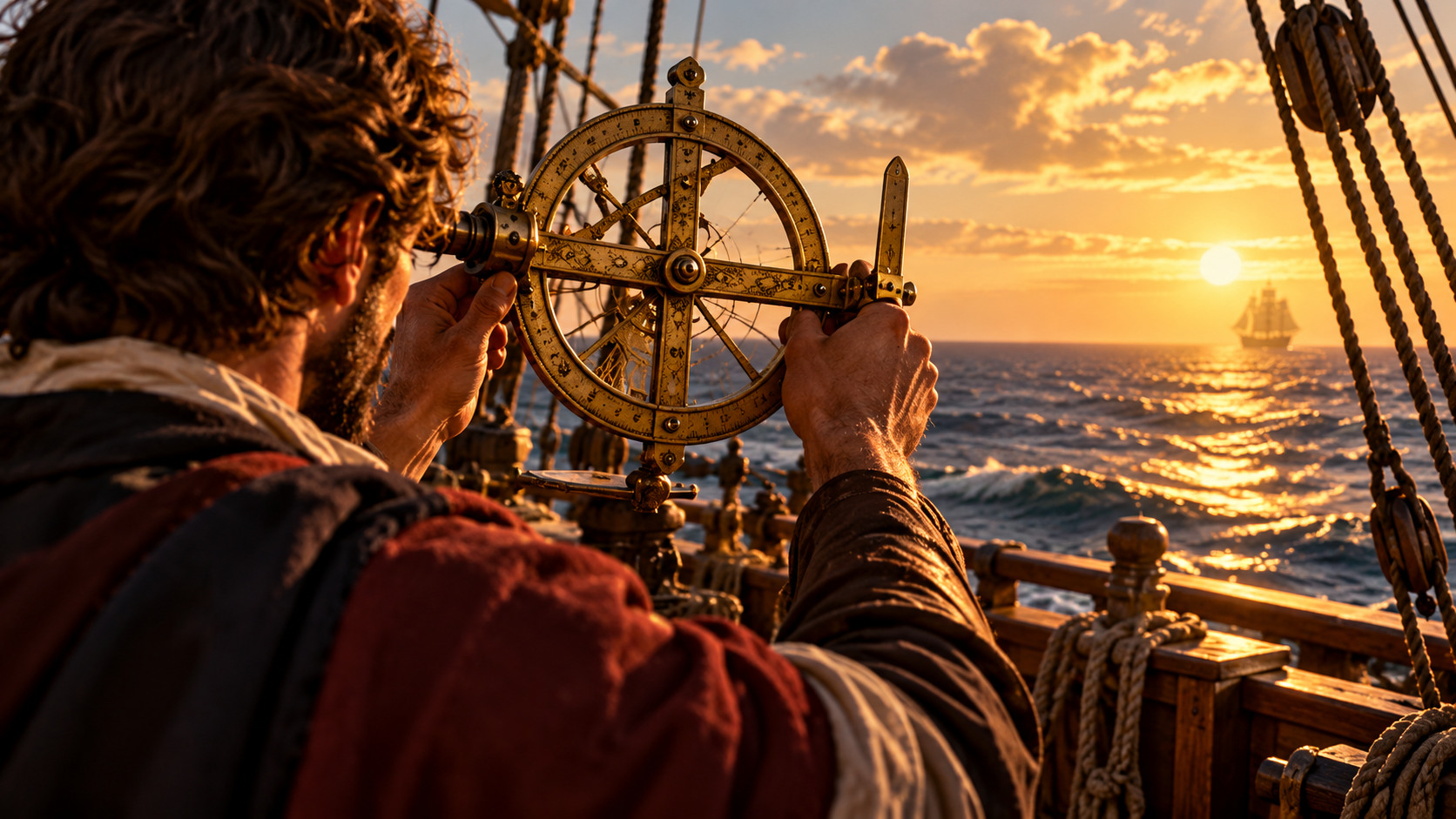
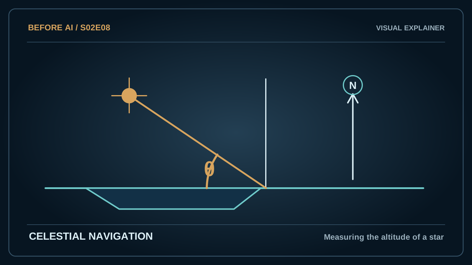
The altitude of the Sun at certain times, or the position of stars, could help a navigator estimate latitude — how far north or south the ship was. Various instruments, including astrolabes, quadrants and later sextants, were used in different places and periods.
An astrolabe was more than a sailor's gadget. Astronomical instruments were developed and refined in scholarship across Islamic and European traditions, and they had uses beyond navigation. The Royal Museums Greenwich collections show how varied these instruments became.
Finding latitude was only part of the challenge. Longitude — how far east or west the ship had travelled — proved much harder to calculate accurately at sea.
A clock solves a geographical problem
Earth turns 360 degrees in roughly 24 hours. That makes time a useful clue to longitude: a difference of one hour corresponds to about fifteen degrees of rotation. If a navigator can compare local time with the time at a known reference location, longitude can be calculated in principle.
The difficult part was keeping the reference time accurately aboard a moving, damp and changing ship. In the eighteenth century, John Harrison developed a series of marine timekeepers to address that problem. His H4 timekeeper was trialled on a voyage to Jamaica in 1761. It was a remarkable advance, not a switch that instantly equipped every ship.
Accurate marine chronometers were costly, and wide adoption took time. Navigators also continued to use astronomical techniques, charts and other observations. The history of navigation is a story of combining methods and checking one answer against another.
More information, better decisions
A navigator had to ask: How reliable is this observation? How long ago was the last good fix? Has the wind changed? Does the chart match the coast? Those questions sound surprisingly familiar to anyone who checks a modern map app against road signs or known landmarks.
GPS works by an entirely different technology using satellites and precise timing. Its convenience can hide the layers of reasoning built into the older art of navigation: measuring, calculating, recording, comparing and correcting.
Sailors found their way not because one instrument knew the truth, but because skilled people combined imperfect clues until the route became dependable enough to follow.
A map is not the sea
A chart is a model of coastlines, depths and routes. It is never the ocean itself. Navigators needed to combine the map with what they could actually see: a headland, a star, a familiar current or a change in the wind. When those clues disagreed, deciding which to trust could mean the difference between reaching port and hitting rocks.
Early sailing knowledge belonged to many maritime cultures, from the Indian Ocean to the Mediterranean and the Pacific. The tools discussed in European accounts are one part of that wider story, not a complete explanation of how people travelled by sea.
Finding north is not finding home
A magnetic compass tells you the direction of magnetic north, which is not always the same as geographic north. It can help hold a course, but it does not reveal how far a ship has drifted. That gap is why navigators recorded speed, distance and time, often in difficult conditions.
Estimates based on a course and speed accumulate uncertainty. Suppose you think you have travelled forty miles east. A sideways current may have pushed the ship further north or south than you realise. Another observation is needed to correct the estimate. This habit of revising a model when new evidence arrives is as important as any one instrument.
Why latitude was easier than longitude
Latitude describes a position north or south of the Equator. Celestial observations could help sailors estimate it, with practical complications from the moving deck and imperfect weather. Longitude, east or west, was harder to establish reliably while far from land.
There are several routes to determining longitude, including observations of the Moon and accurate timekeeping. Royal Museums Greenwich documents how John Harrison developed marine timekeepers during the eighteenth century. His achievements helped make a clock-based solution more practical, but he worked within a broader, often disputed search for reliable navigation.
Instruments only work with know-how
An astrolabe requires the user to sight a celestial body and interpret a scale. A chart demands judgement about its age and accuracy. Even the best chronometer has to be maintained and compared with observations. Skilled navigation was the practice of combining imperfect tools and knowing their weaknesses.
The modern GPS screen can show a moving blue dot almost instantly. Behind it are satellites, precise atomic timing, mathematical calculations and corrections. The relationship to a mariner's astrolabe is not a straight line of invention. It is the recurring human need to answer two questions: where am I, and how can I tell whether my answer is right?
Sources & Further Reading
The main illustration is AI-generated, not historical photographic evidence. The technical diagram is an original editorial illustration.